32
33
SmartNet is a subscription based service offering GNSS
Network RTK corrections throughout the world.
SmartNet provides high-precision, high-availability
Network RTK corrections for any application, using any
constellation, and is available to everyone.
Leica Geosystems directly operates, manages, and maintains
all segments of the network, from the reference stations in
the field to the server and IT infrastructure.
SmartNet is built on the powerful Leica Geosystems GNSS
Spider software providing a variety of real-time data products
to the end-user. It is open to all data formats, offering a GNSS
RTK solution to anyone in the precision measurement
marketplace.
SmartNet has the largest coverage of GNSS RTK Network
Services in the market. The SmartNet team carry the global
experience into the local support to succeed in customer
projects. Leica Geosystems offers everything from the
reconnaissance and installation of the reference stations
themselves, managing subscriptions services, to monitoring
the network’s health and operation 24/7.
SmartNet has innovated precise measurements applications
across many industries such as Precision Agriculture and
GIS, while at the same time providing a stable and reliable
infrastructure for the traditional construction and surveying
applications.
SmartNet
GNSS RTK Network Service
Smart
Net
powered by Leica Geosystems
SmartNet
Advantages
Quality
Productivity
Reliability
Cost
Land Surveying
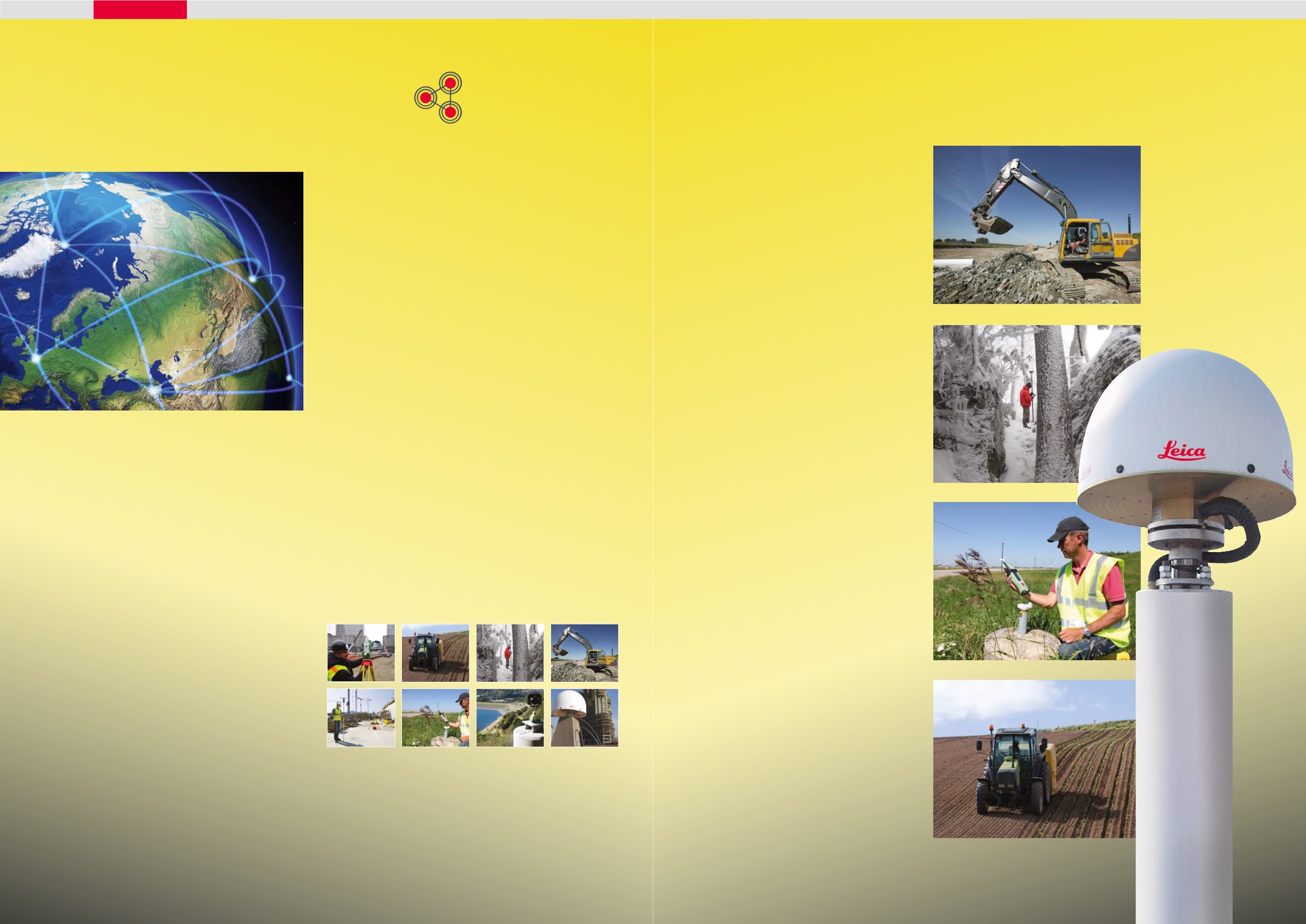
SmartNet is widely used and trusted in a variety of
land surveying applications such as building and
monitoring bridges, towers, highways, and dams.
SmartNet eliminates the need for land surveyors
to set up individual base stations which
dramatically increases production and safety.
Annual subscriptions for all network RTK GNSS
(GPS and GLONASS) rover systems are available.
GIS
SmartNet is ideal for any high-precision
mapping projects such as utility mapping,
asset management, GIS data collection and any
application that requires consistent high-precision
centimeter accuracy. GIS professionals can use
any network RTK GNSS (GPS and GLONASS) rover
system and the coverage is available 24/7.
Construction
SmartNet is being used more and more frequently
in high-profile construction projects. Highway
construction projects, airport runways, sport
stadiums and any construction application that
requires precise machine operations and repeat
centimeter accuracy.
Agriculture
SmartNet can be used in a variety of agricultural
applications such as cropping, fertilisation and
land-levelling. With a networked RTK correction
from SmartNet, communication distance is not
restricted by the communication device. Inside of
SmartNet, you can continuously get position over
30 miles away without having to switch base
stations or worry about distance from the base.


